type
organisation
Academic exercise
1 Master Urbanism
and Spatial Planning
Sint Lucas
Southern mosaic was an exercise which consisted out of three interventions: the realization of a cycle route, an infill development and a public space.
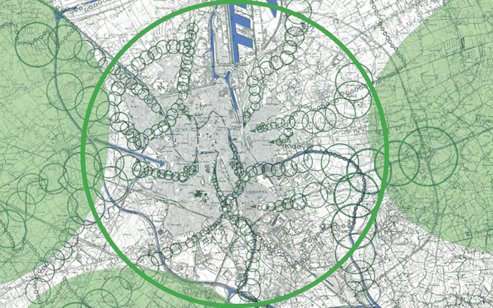
In cooperation with Toon De KeyserFirst of all we studied the aims of the city; Ghent as lobe city, Ghent as car-free (bicycle-)city and Ghent as city by the water. The combination of these three formed the base for the elaboration of this exercise. It was vital to establish a strong network of blue and green structures combined with connections for non-motorized traffic. This network consists of a green beltway around Ghent which connects the three green lungs, and where different blue and green corridors start to penetrate deep within the urban fabric. On top of that the network should function as a support for functions, such as: schools, green-zones, public services, . . .
We can conclude that the aim is to create a cycle path as green connective support.
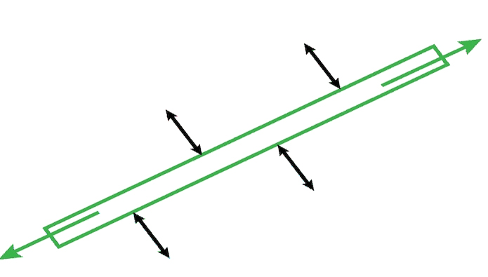
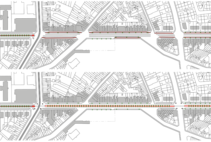
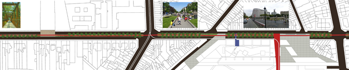
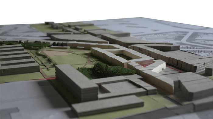
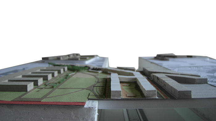
As a test case one of these green connective supports will be developed. This one connects the Maaltepark with the city centre along the De Pintelaan and the Muinkschelde. We used Barcelona as study-case, there they have realized a network for cyclists that disconnects the motorized traffic, which results in the safest, most pleasant and most durable situation for the cyclist. We projected this method on Ghent (De Pintelaan) in which we connect the cycle path with the surrounding functions through materialization and priority rules.
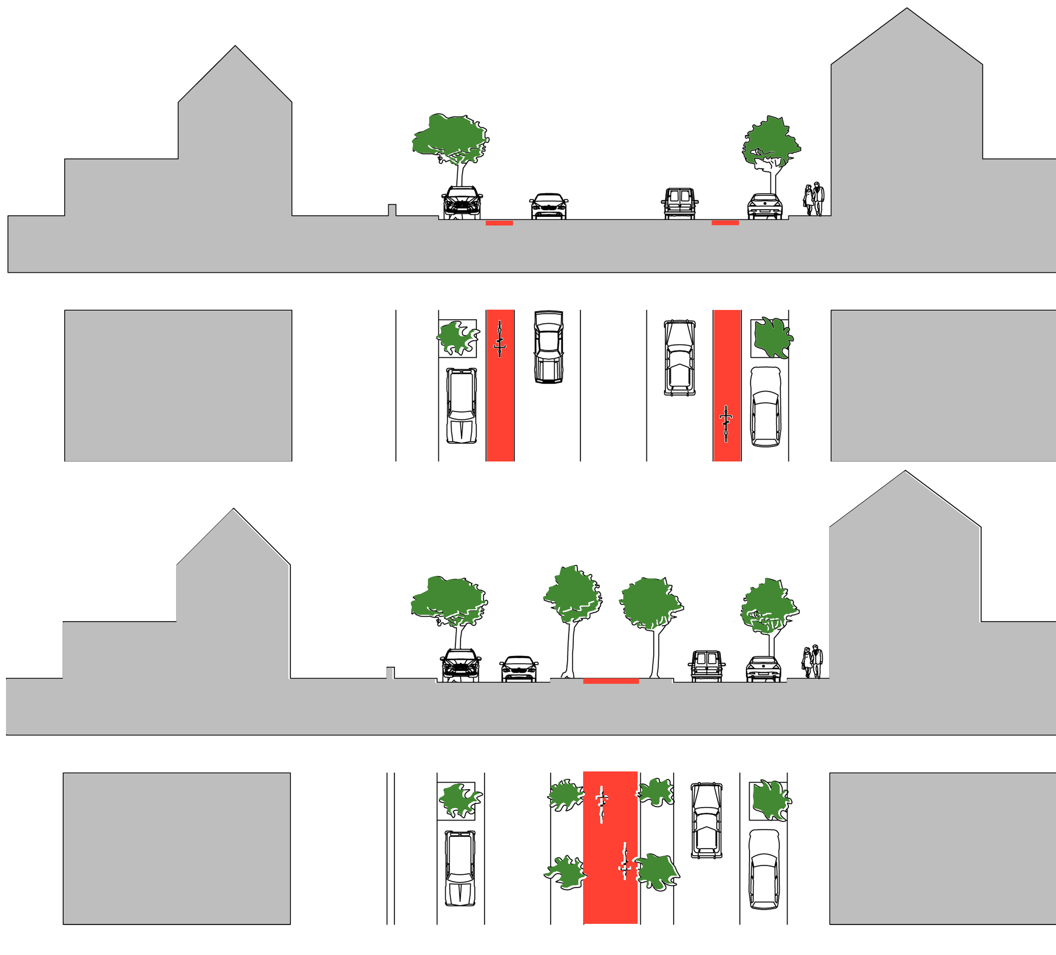
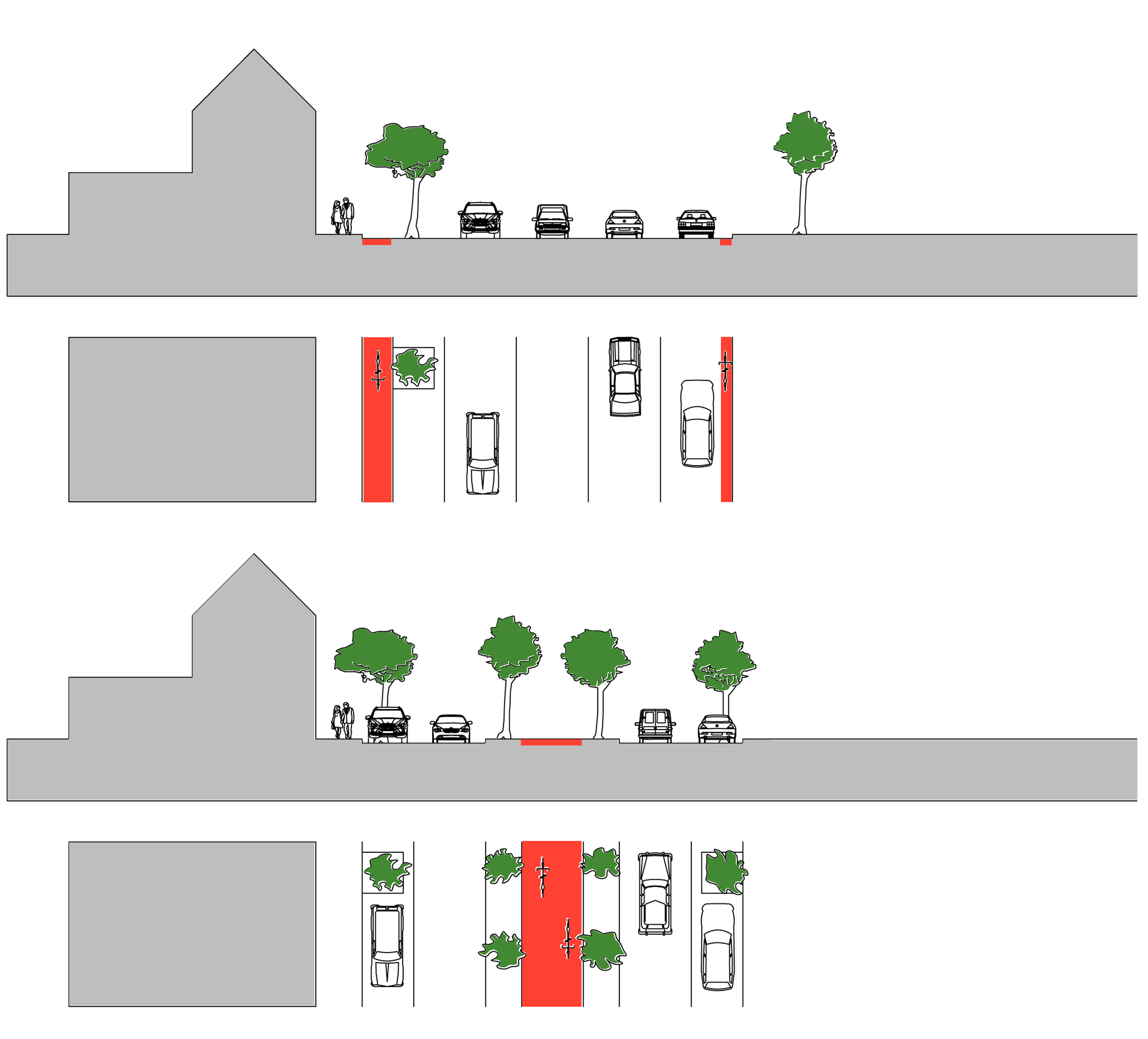
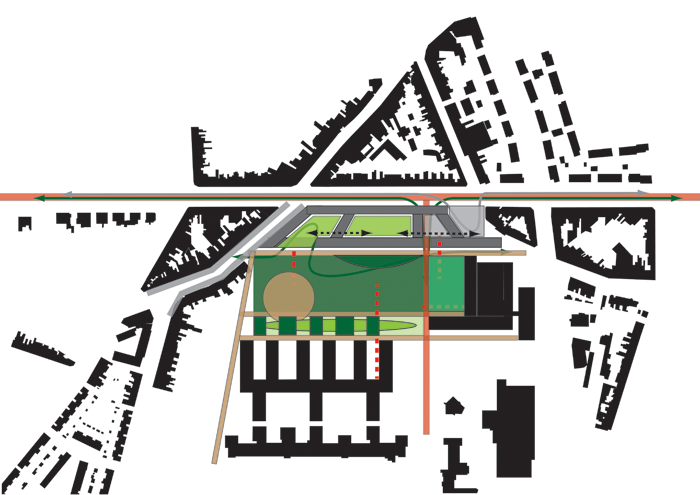
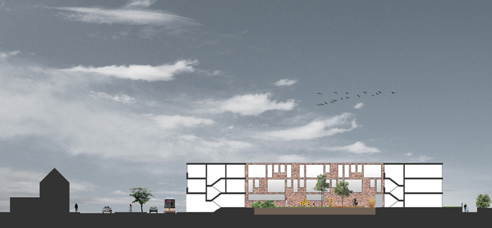
While designing the cycle path it became clear that a piece of terrain of the University Hospital is perfect to the locate the infill development and the public space. At the moment this space functions as a green space which is cut up in pieces by circulation axes and a parking lot. That way it doesn't connect with the neighborhood, resulting in a green space with no value.
The master plan of the UH relocates the entrance and the exit of the hospital, this results in the downgrading of traffic in De Pintelaan. The reduction of traffic creates the necessary space to implement the cycle path. Simultaneously the circulation axes and the parking lot are relocated, making space for the infill development and the public space.
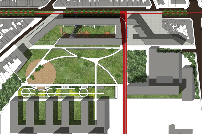
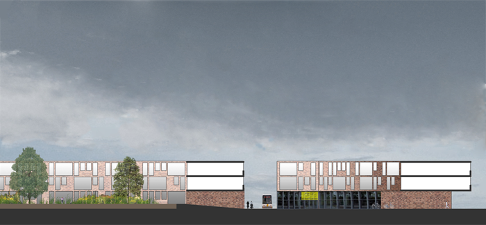
The implantation of the infill development restores the continuous streetscape. The deduplication of the infill development creates a housing bloc with an interior space on a proper scale. The public space is located between the infill development and the UH, it connects the infill development, the neighborhood, the cycle path and the UH. The space functions as a park that is divided in different sections to create a sense of security. An example of one of those chambers is located between the central square and the UH, here we used dense vegetation and greenery as a buffer and inserted a revalidation track as well.